
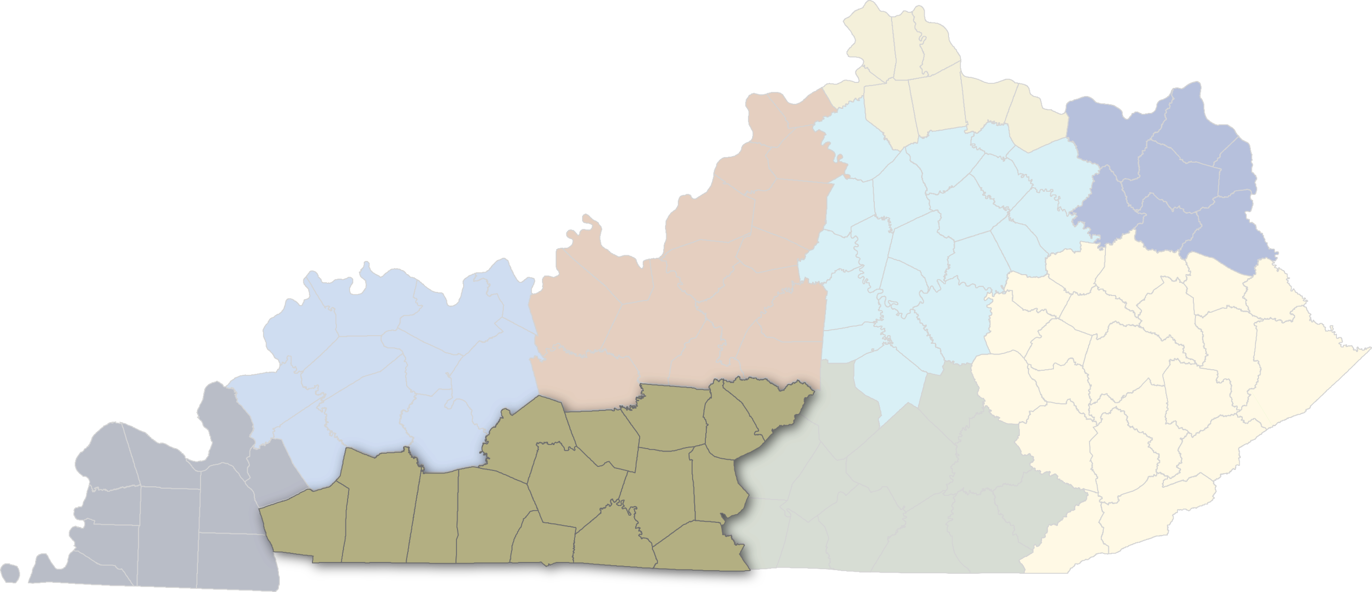
Select a region to see businesses in that region on the map below
About and How To Use This Map
- Click a Region on the Map Selector above to display results by region.
- The map below displays educational institutions, general aviation airports, and companies that have been identified as part of the Aerospace & Aviation Industry within the selected region.
- Click on map pinpoints below to see additional details about each listing.
- Use the slider menu
 in the top left corner for the option to filter map pinpoints by category.
The map below shows educational institutions, general aviation airports, and companies that have been identified as part of the Aerospace & Aviation Industry within the selected region. Companies have been broken into eight groups based upon their broad industry classifications. The map display can be filtered to highlight entities in each of these eight groups, as well as education and airport locations. Clicking on each entity pulls up additional information about that entity, including name, industry, size, and location information. Companies listed in the A&A map have been linked to aerospace or aviation activities by survey data, industry identification, contracting activity, or participation in industry events such as the Kentucky Aviation Association Conference.
A&A Services
Air Operations
Airports | Flying Fields | Services
Business Services
Engineering & R&D
Manufacturing
Suppliers & Maintenance
Schools & Educational Services
Transportation & Logistics
All Others
